August 11, 2025
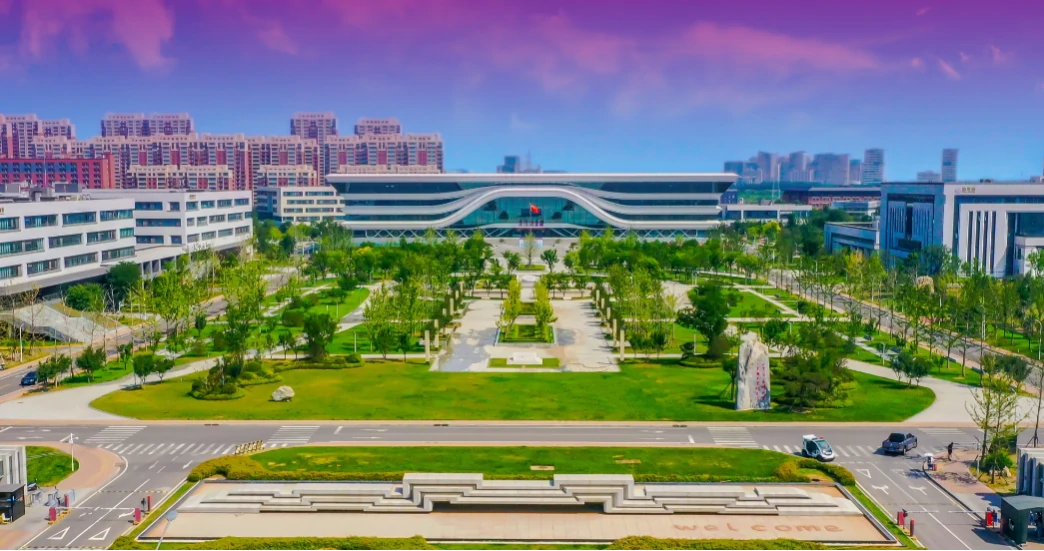
Apply Now! 1-Year Chinese Scholarship at Nanjing Top University!
As a leading 211 Project university, which offers an excellent one-year Chinese language program for international students. Featuring small-class i...

December 3, 2025
A Detailed Comparison between HSK 3.0 and HSK 2.0
As the new HSK standards and materials roll out, it’s time to get ahead of the changes-especially if you’re planning to take the exam in t...

November 3, 2025
Bachelor and Chinese Language Still Available for 2025 Fall Intake
2025 Autumn Intake – Popular Programs Still Open! Don't miss your chance! We are still accepting applications for our high-demand programs st...

December 5, 2025
0 Tuition Bachelor Scholarship in Shandong, NO NEED CSCA SCORE
The university is a key construction university and also the largest medical science research institution in Shandong Province.&...

May 23, 2025
Fully Funded Bachelor Scholarship in Chongqing!
WHY CHOOSE HERE Good news for international students! A fully funded bachelor program awaits here for you to apply. We would like to recommen...

June 9, 2025
Unleash Your Global Leadership Potential in Beijing Normal Uni
Beijing Normal University Belt & Road School Why Choose BRS for Your Postgraduate Journey? As a world-class institution withi...

January 19, 2026
Through Wing Chun, Shenzhen projects cultural confidence abroad
With its unique artistic charm and profound cultural connotations, Wing Chun, an original dance drama from Shenzhen, Guangdong province, has ca...

July 29, 2025
Open to All Nationalities! 1 Year of Chinese Course in Nanjing
This 211 Project university is located in Nanjing, the capital of Jiangsu Province. The university provides international students with an excellent...

November 21, 2025
2026 Spring: Chinese Language in Shanghai
Perfect your Chinese in China's most dynamic city! Our spring 2026 Chinese language programs offer something for every level. ...

May 22, 2025
Global students share cultures with Chinese youth for mutual learning
Recently, a group of international students from the University of Science and Technology of China visited Yanzihe Experimental Middle School in ...
Popular Articles

Apply Now! 1-Year Chinese Scholarship at Nanjing Top University!
August 11, 2025

A Detailed Comparison between HSK 3.0 and HSK 2.0
December 3, 2025

Bachelor and Chinese Language Still Available for 2025 Fall Intake
November 3, 2025

0 Tuition Bachelor Scholarship in Shandong, NO NEED CSCA SCORE
December 5, 2025

Fully Funded Bachelor Scholarship in Chongqing!
May 23, 2025

Unleash Your Global Leadership Potential in Beijing Normal Uni
June 9, 2025


