February 17, 2025
2025 EGPC! LIMITED Seats to Talk with 150+ Universities, Sign Up Now!
2025 EGPC Opens for Registration Now!Educational Global Partners Conference With the aim of promoting China’s education worldwide, building a...

May 9, 2025
Congratulations on the Successful Holding of the 14th EGPC Conference
From April 24th to 25th, 2025, the 14th Educational Global Partners Conference (EGPC) was held in Nanjing, China. This two-day event convened global...

May 22, 2025
Global students share cultures with Chinese youth for mutual learning
Recently, a group of international students from the University of Science and Technology of China visited Yanzihe Experimental Middle School in ...

May 22, 2025
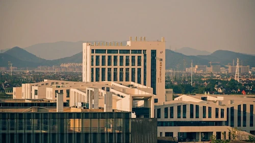
Top Uni in Zhejiang, Hangzhou Normal University Welcomes You!
Dear International students, we invite you to apply to Hangzhou Normal University. Founded in 1908, it’s a well-respected institution. Located in the ...

June 6, 2025
Ancient Chinese martial arts find new home in Benin
Bathed in the warm equatorial sun, 53-year-old Damien Agossou Degbo is leading scores of students through precise movements of kung ...

May 23, 2025
Fully Funded Bachelor Scholarship in Chongqing!
WHY CHOOSE HERE Good news for international students! A fully funded bachelor program awaits here for you to apply. We would like to recommen...

May 26, 2025
See U in Nanjing & Yiwu, Support Your Study in China Business
NEW FREE AGENT TRAINING Dear Agents, To help you gain deeper insights into the Study-in-China Field and support your Study-in-China Business...

June 3, 2025
How does Students under 18 Apply to Study in China
How does Students under 18 Apply to Study in China? Many agents have asked us whether students under 18 can study in China. The ans...

June 3, 2025
Chinese Language Programs Available!
Attention, International Students! A collection of Chinese language programs now open for applications! Whether you aim to master...

June 9, 2025
Fully Funded Scholarship of Chinese Language!
The university is located in Changsha, a historical and cultural city in China. It is adjacent to the provincial government and has a beauti...
Popular Articles

2025 EGPC! LIMITED Seats to Talk with 150+ Universities, Sign Up Now!
February 17, 2025

Congratulations on the Successful Holding of the 14th EGPC Conference
May 9, 2025

Global students share cultures with Chinese youth for mutual learning
May 22, 2025

Top Uni in Zhejiang, Hangzhou Normal University Welcomes You!
May 22, 2025

Ancient Chinese martial arts find new home in Benin
June 6, 2025

Fully Funded Bachelor Scholarship in Chongqing!
May 23, 2025


